Ngā rangahau pūtaiao hei tautoko i te Kawenata.
Science behind the Accord
The Accord was signed in 2011 and since then a huge amount of work has been carried out. Actions taken to improve water quality are based on a foundation of science contributed by Accord members and external agencies, including Horizons Regional Council, Massey University, National Institute of Water and Atmosphere (NIWA), Cawthron Institute, Fish and Game, Land Water People (LWP), and Landcare Research.
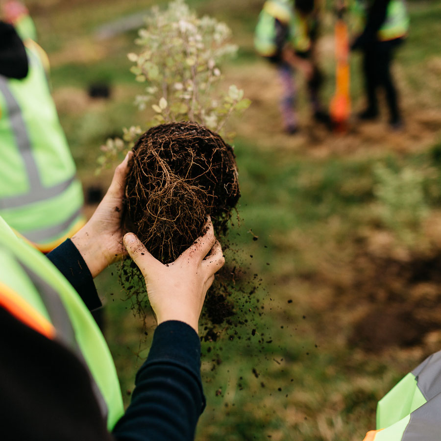
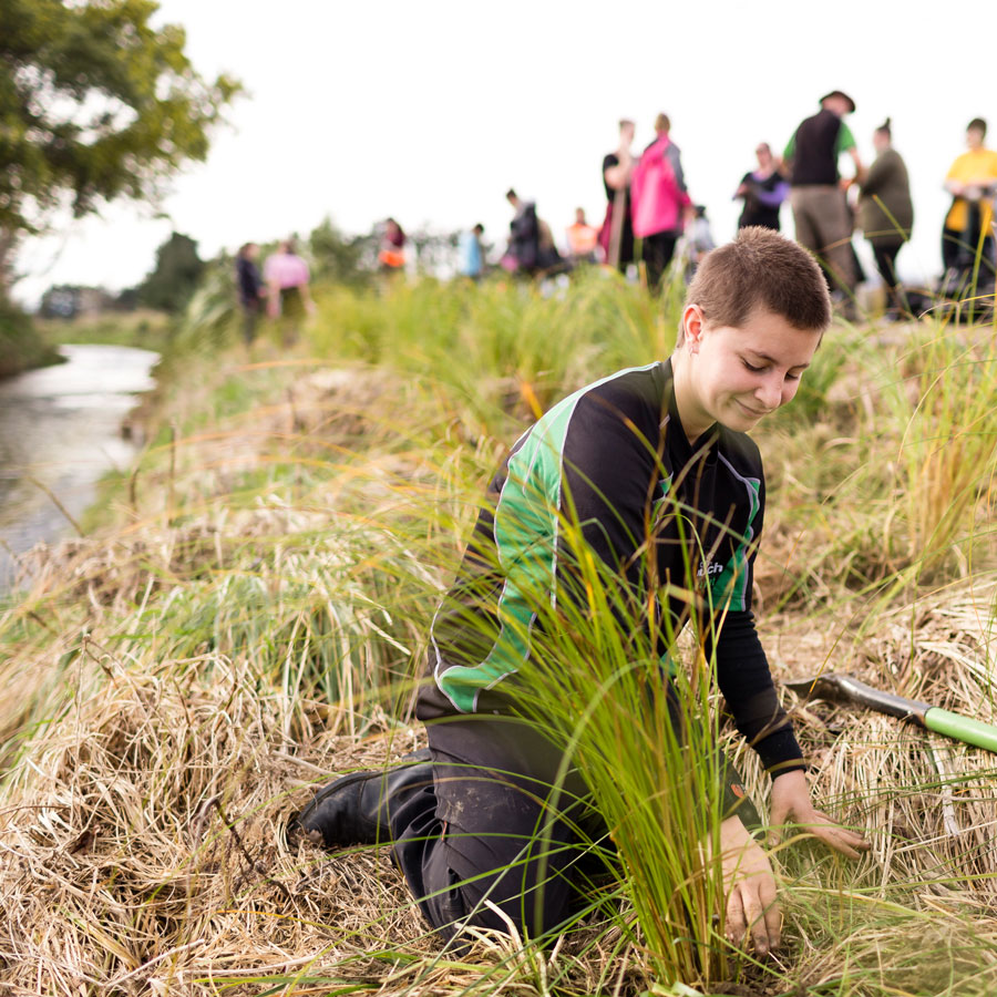
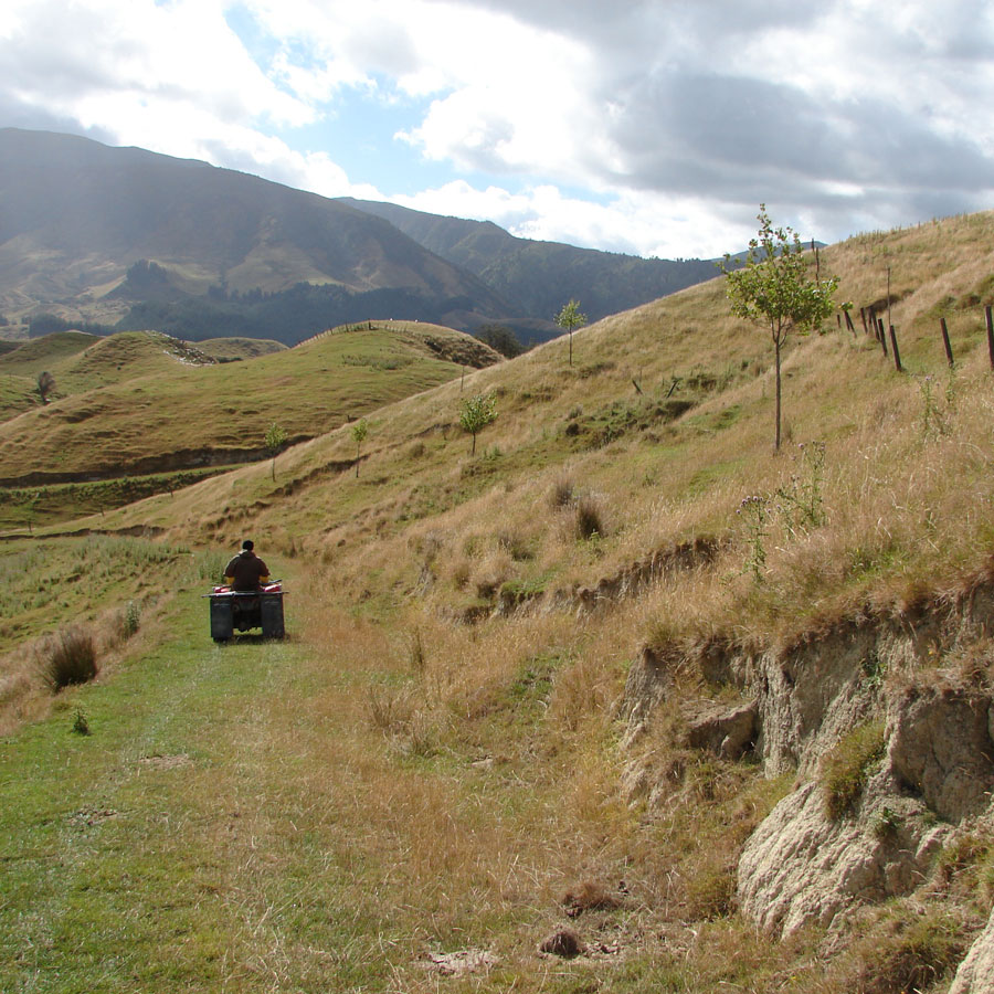
Activity includes major wastewater treatment plant upgrades across the catchment, reduced stock access to waterways and improvements to in-stream habitats through stream fencing and riparian planting, planting to address hill country erosion, and land retirement to reduce sediment and nutrient inputs to the awa. While it is expected that the impact of this work will make a positive change, in many cases this will not be seen for many years. This is because many interventions take time to establish, such as changes in land use and management practices which can take years before positive effects are seen in waterways due to the nature of the water cycle. Over time these actions will drive improvement in the Manawatū River and protect it for generations to come.
Te kaukau i tō tātou awa me ōna manga
Swimming in our catchment
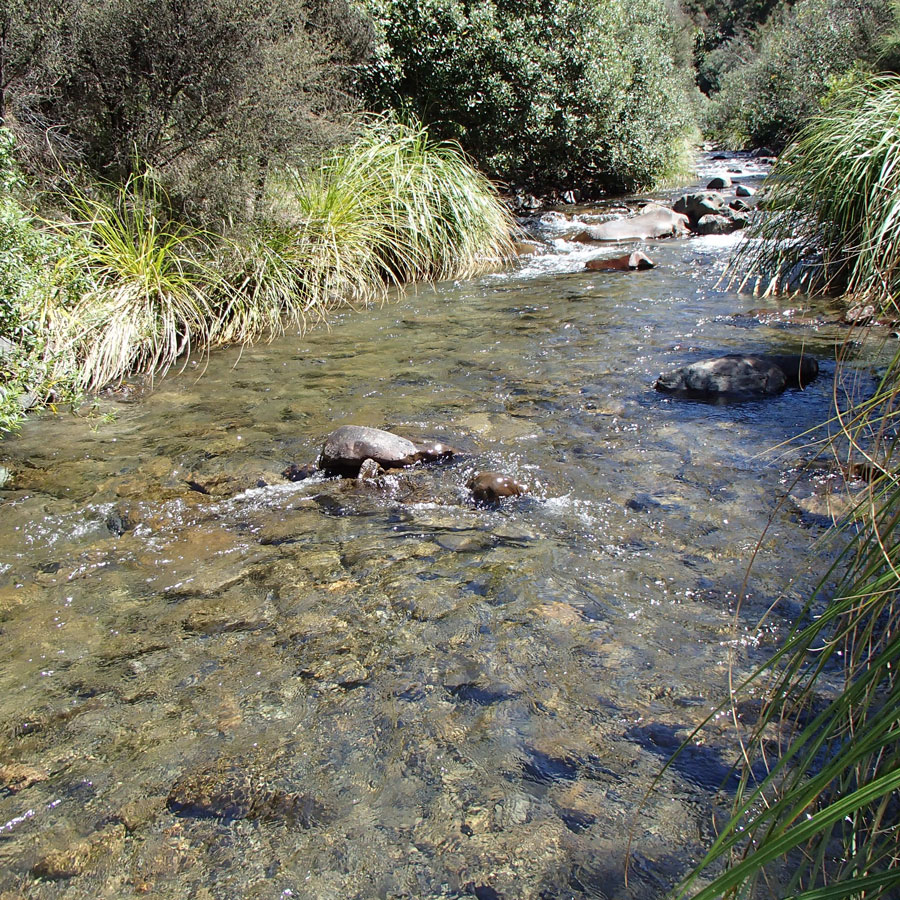
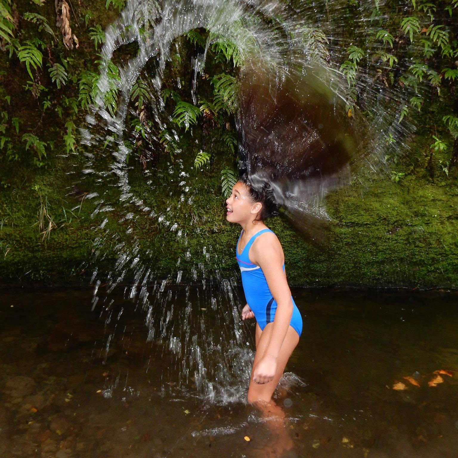
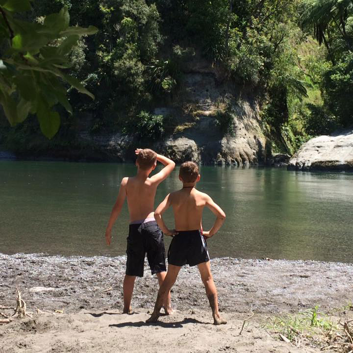
At the heart of the Accord is a shared vision of a healthy awa , where the mauri of the Manawatū River is restored, such that it sustains fish species and is suitable for contact recreation – in balance with the social, cultural and economic activities of the community. Alongside all the work done to improve water quality is an extensive summer monitoring programme to help people make informed decisions about when it is safe to swim in the amazing swim spots the catchment has to offer.
Ngā āhuatanga ka inea
What we measure
Key factors when assessing a site for water quality is the presence of potentially toxic algae or phormidium and pathogens, which are illness-causing viruses, protozoa and bacteria. At high levels they can lead to waterways that are unsafe for swimming, and gathering kai and stock water. They can also significantly increase the cost of treating water for human consumption. To measure this, we look at phormidium, and escherichia coli (E. coli) in lakes and rivers and enterococci at beaches. To find out more about these factors explore our bacteria and periphyton pages.
Kimihia he wāhi kaukau
Find a swim spot
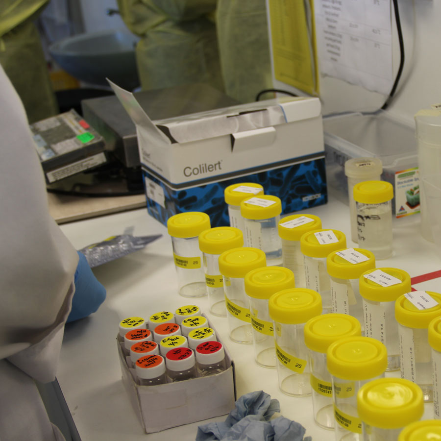
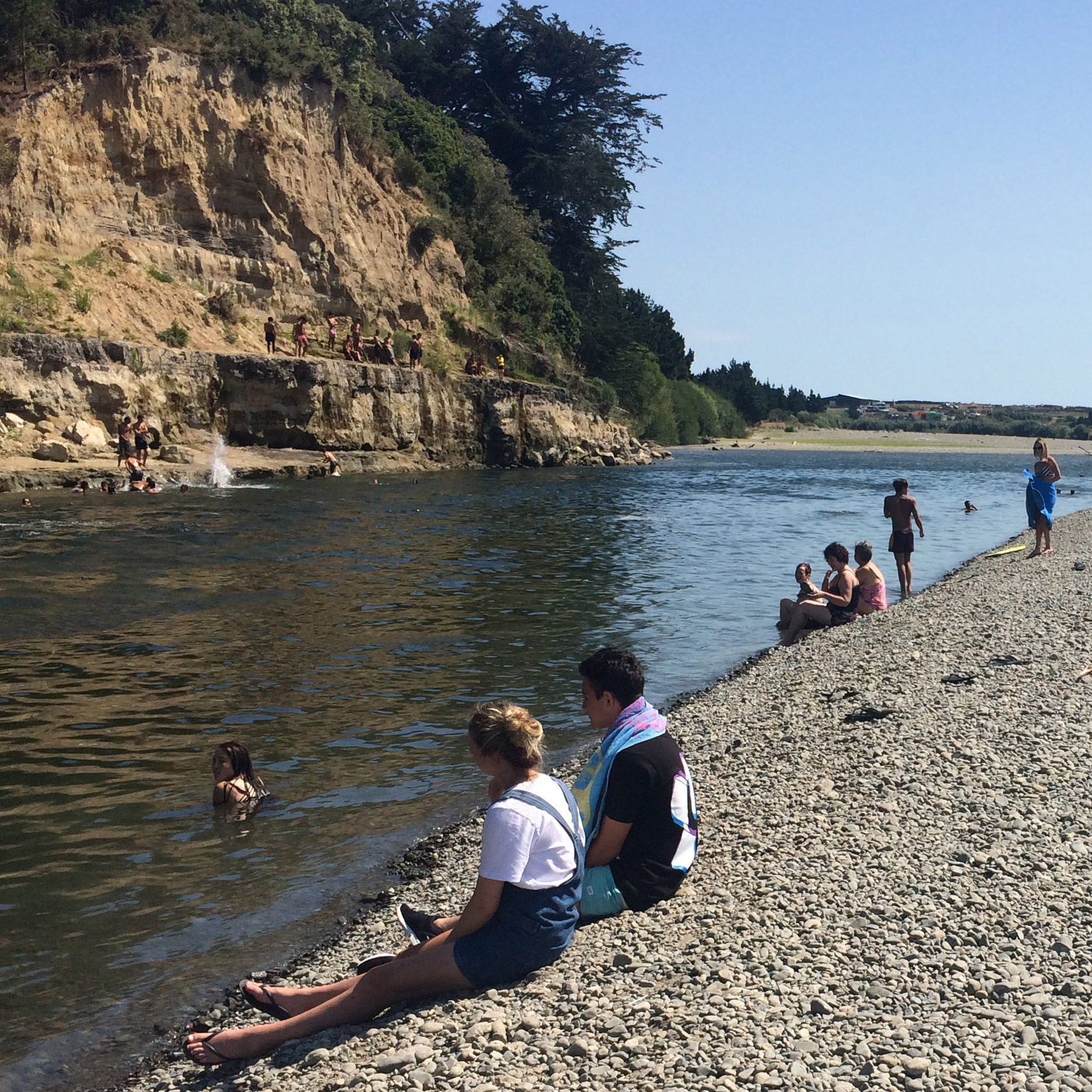
There are 27 monitored swim spots in the catchment, Horizons Regional Council scientists visit these sites on a weekly basis in the swim season (1 November to 30 April). These results are analysed by independent accredited laboratories and displayed on both the Horizons and LAWA websites in an interactive swim spot map to provide you with reliable information on the potential health risks in our waterways.
Each sites result is presented in an easy to understand traffic light system as recommended by the Ministry of Health.
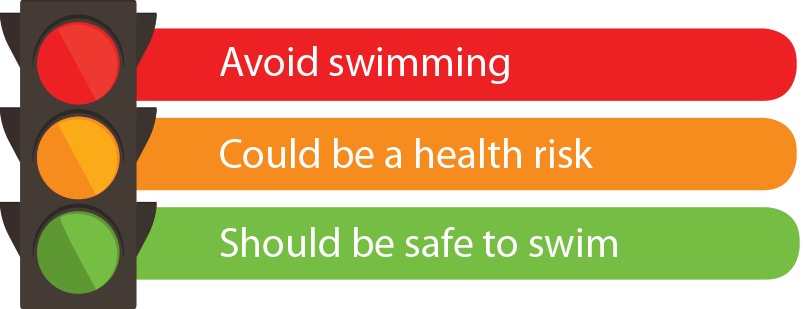
Check out the map to find swim spots near you and get the latest water quality results. When choosing a spot to swim it’s important to remember that some places are unsafe regardless of water quality because of things like strong currents, overhanging cliffs, and submerged rocks. When choosing a spot keep an eye out for these hazards. We advise you follow these guidelines:
- If the water looks clean and clear and it’s a sunny day it should be safe to swim.
- It is safest to wait for the water to clear after rain before swimming at a river or stream swimming spot. If it is 3 days after rain and the water is not dirty or fast flowing, it should be safe swim.
- If musty smelling, black slimy mat-like growths are observed on river bed stones during low river flows, it is safest for you and your dog to avoid using the river.
- Check for submerged objects, strong currents and rips.
Te aroturuki wai
Water monitoring
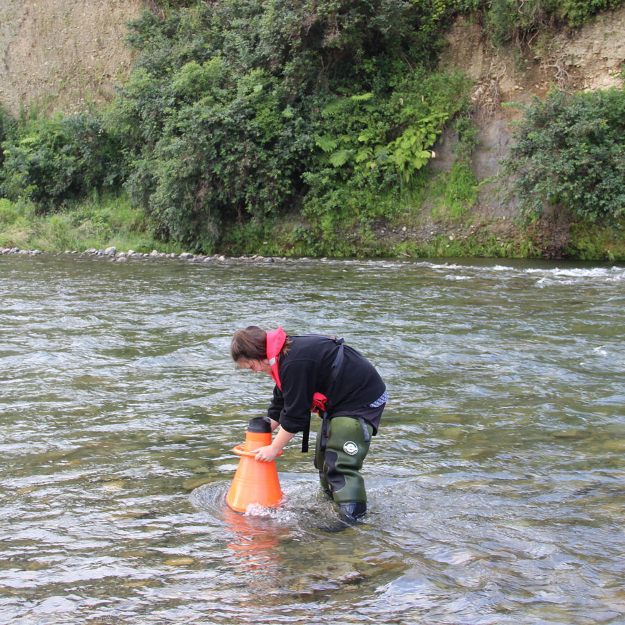
To understand the health of the Manawatū River and changes over time, Horizons Regional Council monitors water quality at 70 river and stream sites across the Manawatū. Water collected from these sites is tested for levels of nutrients (nitrogen and phosphorus), bacteria, sediment, clarity and physico-chemical stressors (pH, conductivity, dissolved oxygen and temperature).
One of the goals of the Accord is to prevent overuse of water in the catchment. Playing a key role in this is Horizons Regional Council’s water resource management framework, which requires all water take consents to install a water meter to record use. Of the 473 takes in Manawatū Catchment, 225 automatically return water use data directly to Horizons, allowing the council and researchers to better understand water patterns, track water use and compliance, and improve planning and water allocation.
Up until recently, there were over-allocation issues in the Upper Manawatū Catchment as a result of historical allocation decisions and high demand for water in this area. Horizons has been working with consent holders to reduce the total allocation in this area to within the catchment limits to better support freshwater ecosystems. This has now been largely achieved, with only three of the 13 sub-zones sitting slightly outside of their allocation limit. It is expected that these three sub-zones will be back within their limit by 2023, which is the next expiry date for consents in the area. The good news is that as a whole, the catchment upstream of Hopelands-Tiraumea confluence is now fully allocated, rather than over-allocated.
Find out more about water monitoring in your area, on the See Progress Map.
Manawatū-Whanganui Regional water quality state and trends 2018
An independent region-wide review of water quality by Land Water People, commissioned by Accord member Horizons Regional Council, released in 2018.
SEE SOMETHING POLLUTING OUR RIVER?
Please let us know by calling Horizons’ freephone Pollution Hotline 0508 800 800.
Ngā mataora wai
Aquatic Life
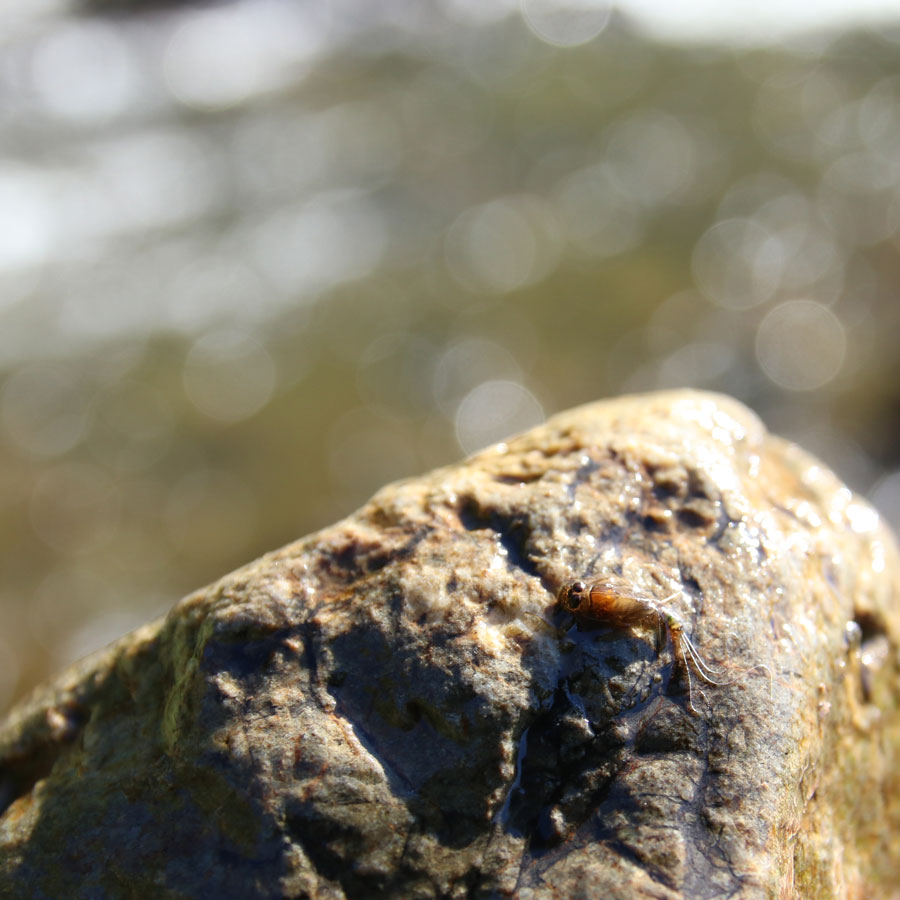
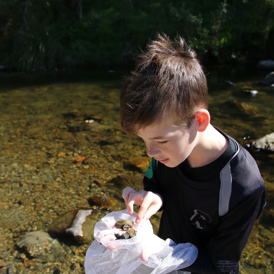
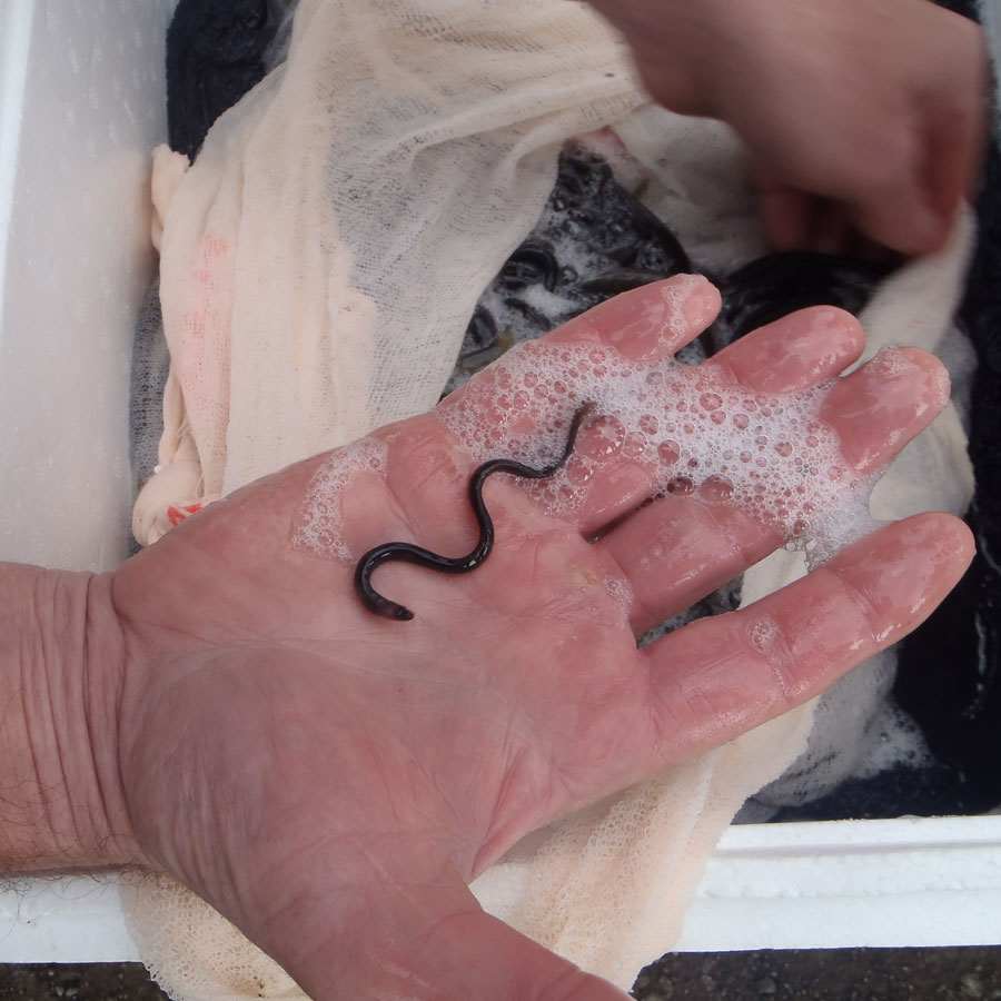
The Manawatū Catchment is home to numerous aquatic animals including fish, insects, worms and snails. An important measure of stream health is the presence of Macroinvertebrates, populations are monitored across the region to help us understand the health of our awa .
Te rerenga rauropi
Biodiversity
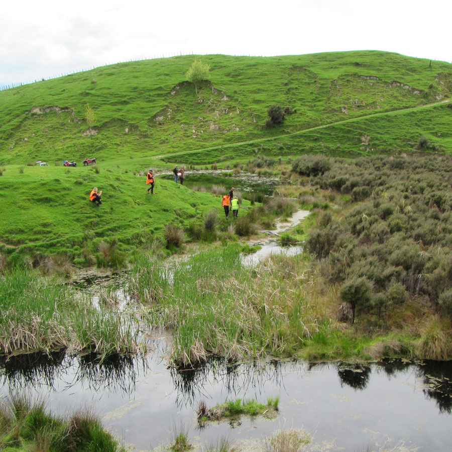
The Manawatū Catchment is home to a diverse range of birds, fish, insects and plants. It is a delicate ecosystem and water quality, land use, and river management all have a major impact on habitat. Through working together communities, partners, and Accord members aim to help these species thrive.
Hapori
Community
Protecting our awa is a community effort. A core goal of the Accord is to increase awareness and appreciation of our awa and to connect people with the tools and information they need to play their part.
Huapiri kirikiri
Periphyton
Periphyton is a mix of algae, fungi, and bacteria that grows on the beds of our rivers, lakes and streams. While some algae is necessary for our ecosystems to flourish, too much can have the opposite effect, smothering the bed of a river, and potentially becoming toxic.
Huakita
Bacteria
Bacteria are an important indication for determining suitability of a waterway for swimming or other recreation. Bacteria is monitored across the catchment on a monthly basis year-round and weekly at swim spots in summer.
Ngā taiora
Nutrients
In healthy rivers and streams, nutrients such as nitrogen and phosphorus occur naturally in small amounts. However, the same nutrients can become an issue if they reach levels that overstimulate plant and algal growth or become toxic to aquatic life. Monitoring and managing nutrient levels is an important part of protecting our awa .
Te waipara me te pūahoaho ā wai
Sediment and Clarity
Sediment is a natural by-product of hill erosion, the shifting of waterways and the consequent erosion of stream banks. Sediment levels are monitored across the Manawatū Catchment using clarity and turbidity levels. Many different actions are supported through the Accord to manage sediment in our awa .
